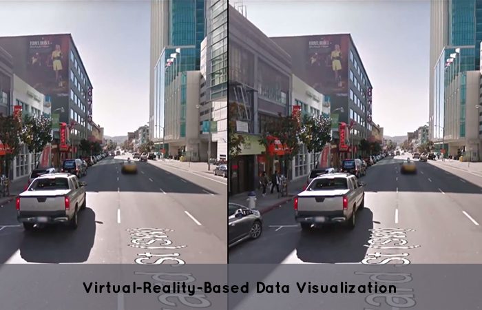
Use of a map in order to visualize the information has its own advantages. It helps to place data alongside an analogous location so that viewers are able to see that how the data is having an impact on that area. Shayna Skolnik, who is the co-founder and CEO of Navteca say that flat and 3D visualizations are considered imperfect. Navteca is just a three-year-old Maryland based Company that offers cloud services which saw budding capability for VR based immersive data Visualizations especially when it was helping NASA in order to run climate models. The company also held virtual Reality projects in the past that used visualizations which is quite similar to the NASA would be shown on their Hyperwall. The VR project is considered great for the outreach, according to Skolnik said.
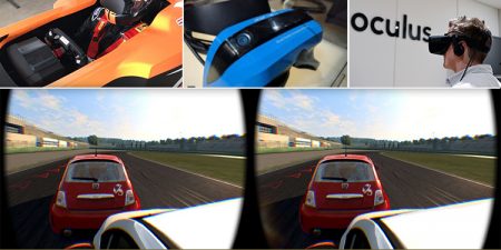
According to Navteca, a more immersive approach to the data is possible and the company built a concept that will let the users to explore the data from the Discover AQ mission while working in the NASA’s department of Earth and science technology Office. The AQ mission is used for flying aircraft in order to collect air quality measurements at different elevations and degrees. Navteca Company uses a Unity 3D program in order to help in building the Virtual Reality apps. The Software was created in a form of an engine to make 3D games. The Developers in the Virtual Reality arena have adopted it in order to view the stereoscopic point-of-view Virtual Reality headsets use.
One of Navteca’s 360-degree videos recently got selected to be appeared in the Newseum in a major category as one of the current “Top 10” Virtual Reality video projects in the current timeline. It also appears alongside the projects from Google, The New York Times and other major content creators. The company is also working on a Virtual Reality tourism app being made in Spain. According to Skolnik, It is just a beginning for Virtual Reality in the company and also as a whole be it in medical or entertainment, etc.


